Daily Tour Schedule:
Vass Imre-Barlang
Discovery and Exploration
Following the flooding of the Little Tohonya Spring, the Budapest University of Technology Speleologist Group discovered three sections of the cave in 1954-1955. Four additional passages were discovered in the forthcoming decades. Nineteen fifty-eight saw the discovery of the 60 m Orange Torrent above the Valhalla Tunnel. The 70 m long Black Siphon was found in 1973 within the Andi Branch. The Triangular Passage was uncovered in 1982 beside the James Chamber. Finally, in 1985, the 28 m long Cheese Passage was reached. Exploration of the spring’s funnel unearthed archaeological findings such as pottery remains from the Halstatt Culture, a piece of wall made out of wattle and clay, slag, pieces of rock crystals typical for the Rozsnyó Region of Slovakia, and a piece of iron presumed to be a part of a pike or spear.
The Imre Vass Cave was mapped entirely by 1985.
Hydrology
Major floods of the Little Tohonya Spring (max flow rate of 27 thousand litres/minute) gush with considerable strength through the entire cave system; into the sharp bend of the Cyclopes, then through the Hades, the Black Branch, Black Siphon, and finally through the Andi Branch. Simultaneously, water levels in the Lagoon and Orange Siphons can rise to 6 m, at which time a roiling waterway is formed between the Orange and Rococo. The creek water finally exits through the Rococo Gate. Water tracing research in 1963 proved the earlier hypothesis that the sinkhole of the cave’s spring is on the Slovakian side (Milada Cave) 4.5 km away. The flow rate of this salty water was determined to be 10000 litres/minute (2640 gallons). Similar tests in 1992 established that the stream travels through the Black Siphon towards the Little Tohonya Spring. The intermittently active stream exists on two, sometimes three levels of the cave.
Geological Treasures
The route through the cave system is divided into five sections.
- The entrance to the Rococo Gate – this former spring path begins with a delta-like opening (the pit in the middle passage of the Discoverer Branch). This section features cracks running perpendicular to the route, which is why it evolved into the Muddy Siphon. Previously, the most beautiful area of this section used to be the Rococo Gate. Unfortunately, it has been repeatedly damaged over the years, and the row of stalactites formerly decorating the middle of the Gate has been reduced to stumps.
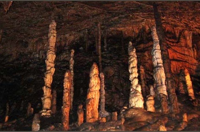
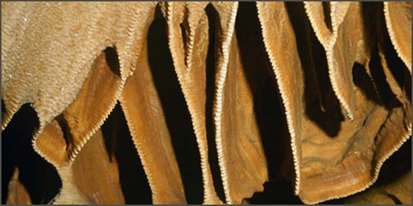
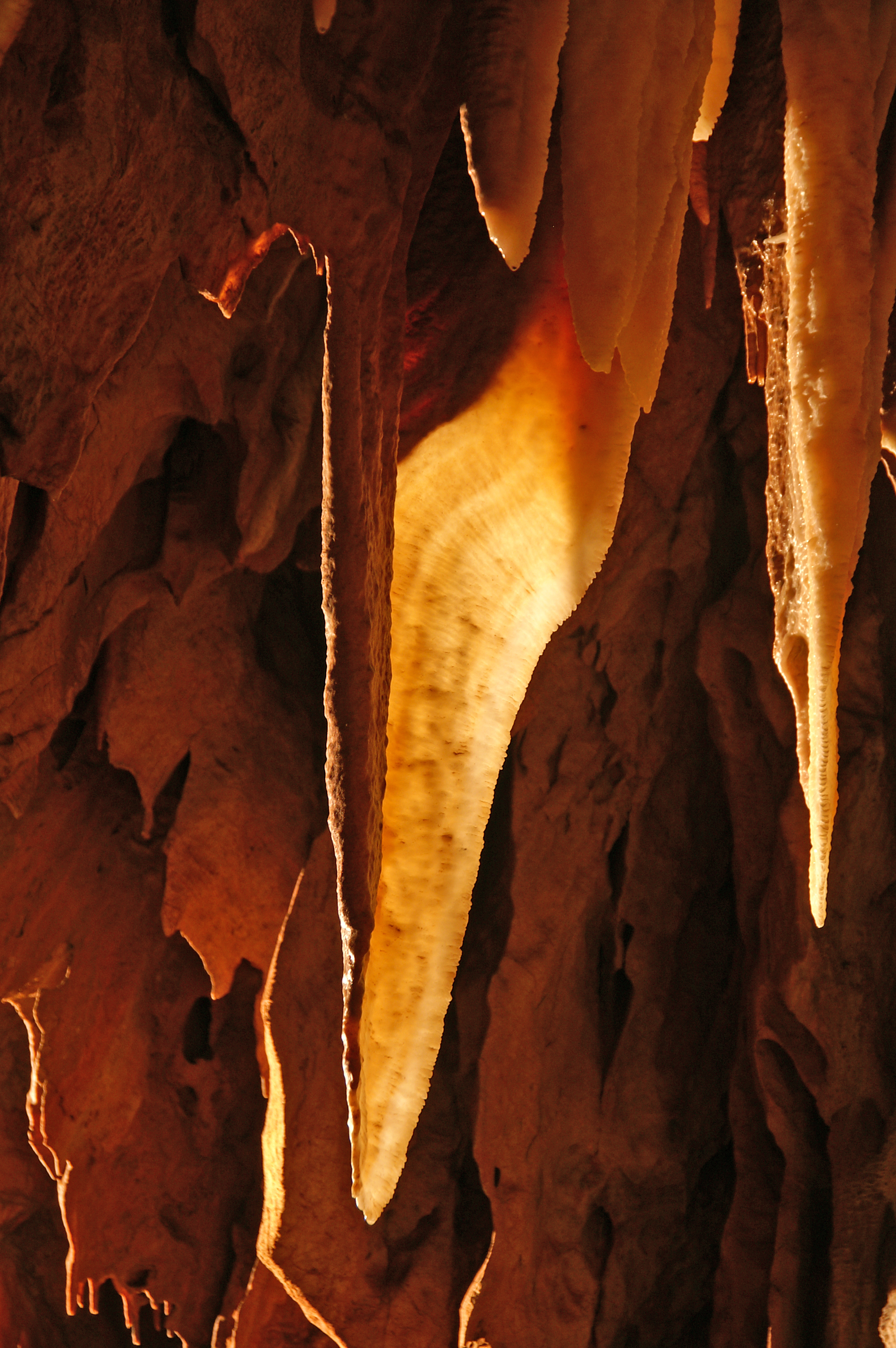
- The Rococo Gate to the Orange Torrent – this section of the system comprises the most spaciously meandering corridor. Wavy shell-like formations, fingers and cauldrons on the ceiling, and erosion and tufa dams characterise this portion of the cave. Special mention must be made of the mammoth Baradla Stalactite, helictites, large tetarata (terraces) in the Orange Torrent, and straw stalactites. Fossils from the Triassic period are also found here.
- The Orange Torrent to the Lagoon Siphon – Although it becomes quite narrow, the beginning of this stretch, turning west into the main branch, is twice the height of the second portion. Of special interest are the many terraces, sinkholes acting like gullies, the twisted stalactite (The Drill), snow-white flags (Snow Shroud, Towel), jellyfish-like clusters, and The Canopy in the Minka Branch which is encrusted with calcite crystals. The passage narrows after it reaches an area of helictite formations in the Cidri Corridor. The route then displays more dolomite veins in the Desert and Lagoon Siphon before it comes to the “leaky well” and scallop- or current-marked wall.
- The Lagoon Siphon to the Dome – This segment is narrow but increases in height around the Grand Canyon and Bat Cemetery. At this point, the system divides into three levels. The trapezoid-shaped bottommost part heads towards the spring (Black Siphon, Agi Branch). The upper zone heads upwards and widens (Eldorado and Red Lake Branches). The middle passage connects the floors through a gap in the Death’s Throat, and is characterised by coral-like pea-stone formations in the Coral Hall.
- The Dome and Cyclopses, through to the end – the three floors meet here at the gigantic scallop-marked Dome. This large, meandering branch is decorated by wavy, shell-like formations, fingers and the large sinkhole at the bend on the way to the Cyclopses. The cave ends in the flooded Wet Branch. Beyond the Hall of the Cyclopses, one encounters breccia and massive debris, but also an unusual manifestation of “moon milk.”
Research
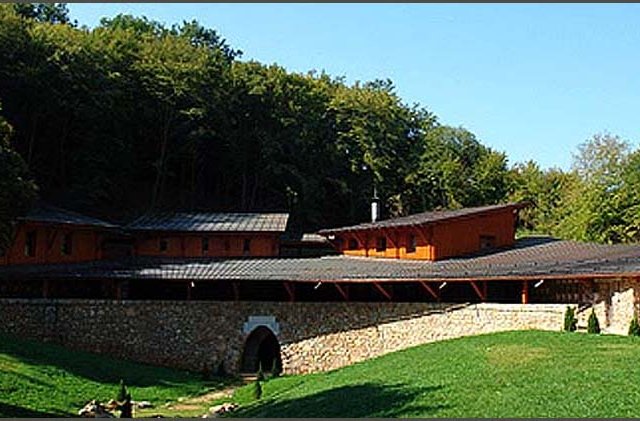
Ferenc Papp, a geology professor at Budapest Technical University founded the Karst Research Station in 1957 near to the cave entrance. The Station conducts lithological, sedimentary, mineralogical, geophysical, hydrological, water chemistry, microclimate and radiological research. They produced a map of the cave catchment area. Chemical and mineralogical analysis of surface karst sediments revealed that these rocks contain, in addition to the limestone dissolution residue of organic matter, loess and tufa as well. Cavity detection experiments were made using magnetic measurements on the surface by the termination of the cave. Due to the steep, rocky surface of the Hall of Cyclopses, no reliable data has been collected. Chemical analysis shed light on the origin of the stalagmite colouration. The growth rates of some straw stalactites and one stalagmite were discovered, as well as the development mechanism for two types of helictite. For example, the needle-like structures are derived from the aerosol content of the cave air. An examination of the calcite-argon ratio demonstrated that it depends on the ratio of magnesium and strontium present.
For a year, water flow and water chemical composition at fifty active dripstone locations were observed. It was concluded that a variety of reasons are responsible for the change in hardness of the dripping water. Five stations continuously measured dripping water yield data for over 20 years. The dripping water rate was then compared with rainfall data. Differences in the calcium-magnesium ratio, or water hardness, in the cave stream and spring waters were also investigated. Furthermore, observations have proven that the strong influence of tidal currents is responsible for the fluctuations in the spring’s yield. Tidal pulls are also responsible for the vertical and perpendicular fracturing.
Changes in hardness or softness of the tufa were examined. The cave’s climatic conditions (humidity, temperature and air pressure) have been studied in detail over a period of many years. Researchers also looked at the relationship between outside and internal climactic influences on the cave system. Radioactivity, radon in particular, is also present.

